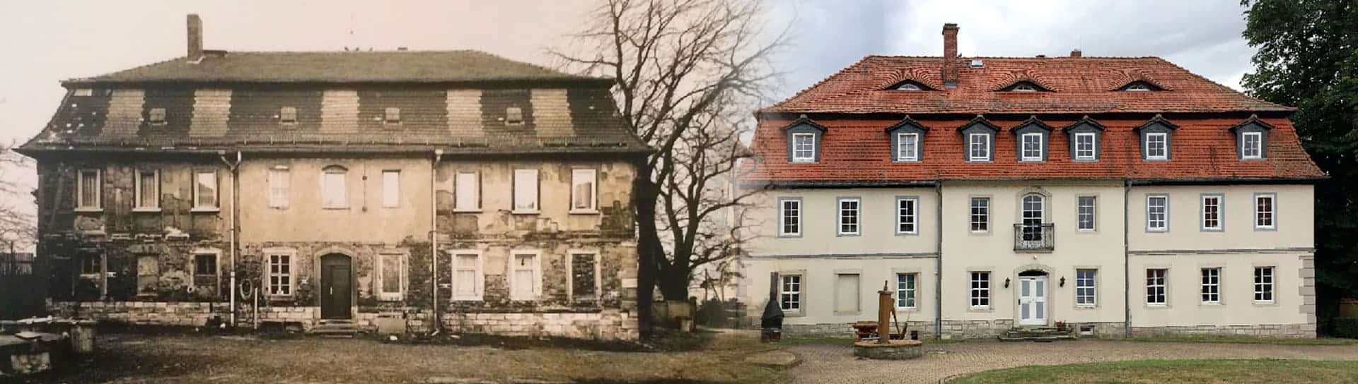
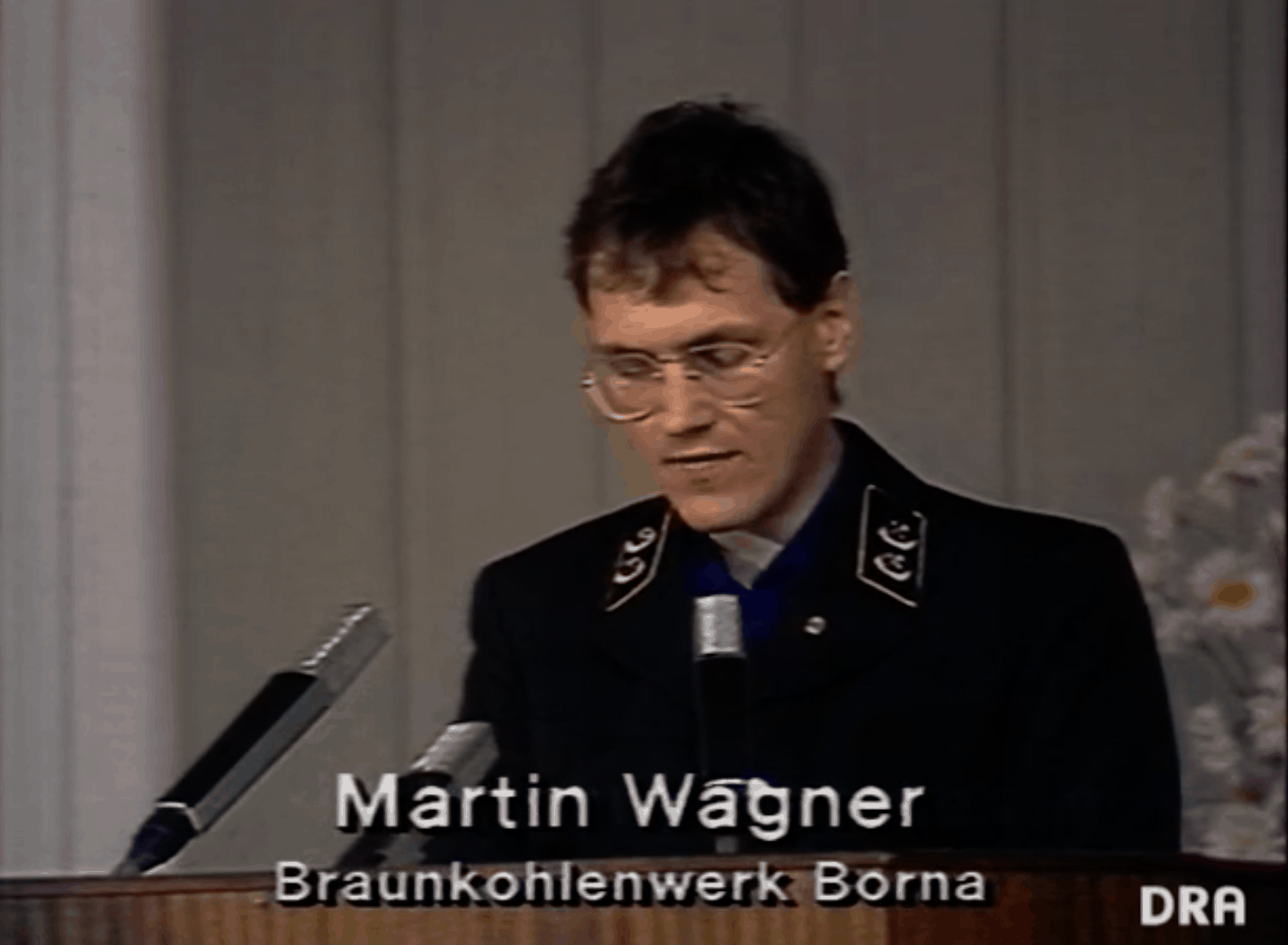
The origins of ILV-Fernerkundung GmbH go back to the time period before German reunification. Between 1988 and 1990 founder and today’s CEO of ILV, Dipl.-Ing. Martin Wagner, was head of the science and technology department at the former lignite plant Borna (BKW Borna). The plant belonged to the lignite combine Bitterfeld and at that time comprised 21 open-cast mines, 24 refining plants and employed more than 57,000 people. In 1990, during the political changes, the combine was transformed into Vereinigte Mitteldeutsche Braunkohlenwerke AG. The resulting MIBRAG GmbH assumed the ongoing operation of the active part of the lignite mining industry in Central Germany.
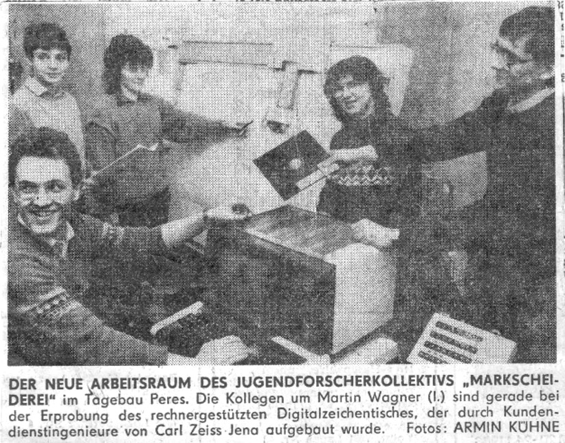
For the coal industry in the German Democratic Republic (GDR) the Youth Research Collective of the Mine Surveyor, headed by Martin Wagner at that time, was the first to set up a digital photogrammetric evaluation centre. From this point, the centre took over the process of central aerial photo evaluation for the open-cast mines at BKW Borna.
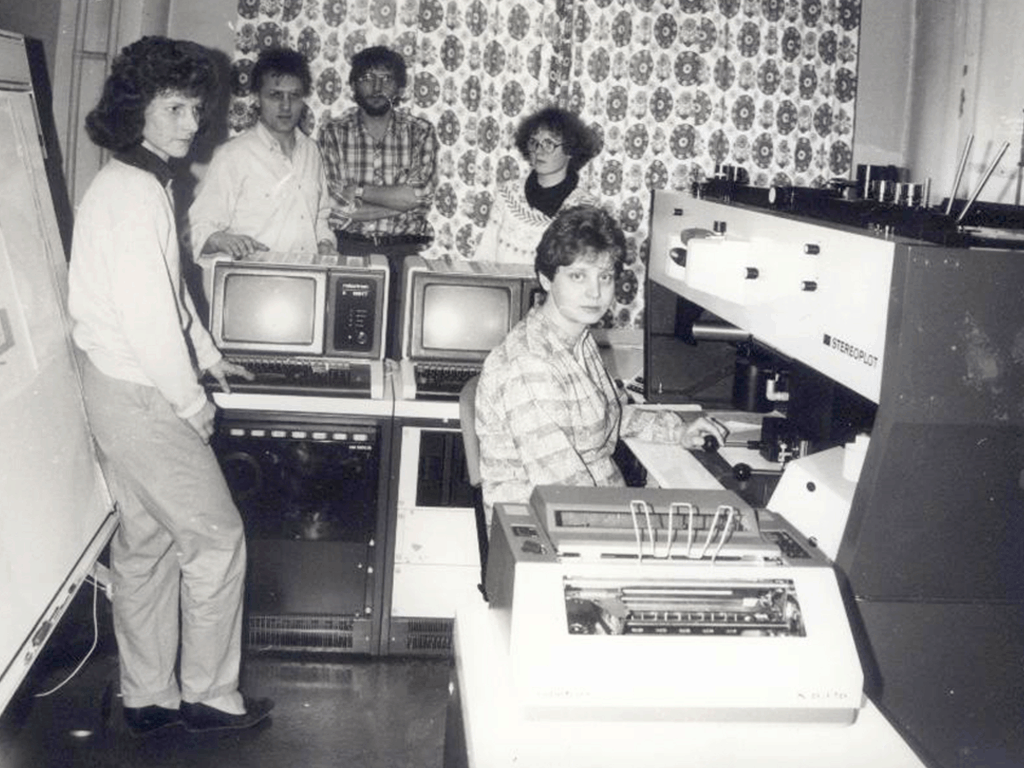
This was followed by a contract to develop a CAD/CAM system for the opencast mines. With a budget of at least 4.4 million marks the interdisciplinary Youth Research Collective began its work. Solutions for data storage and provision via cloud solutions and for data transmission via radio and fibre optic networks were tested and successfully implemented at that time already. For this purpose, mainly technology from the combines Carl Zeiss Jena and Robotron was used, but also technologies that were developed in cooperation with research institutions and universities.
In 1990, the three engineers Martin Wagner, Andreas Forgber (former head of the department of computer technology at BKK Bitterfeld) and Beatrix Wagner (former head of vocational training for mining surveyors of the GDR’s lignite industry) founded the engineering firm Ingenieurbüro für Luftbildauswertung und Vermessung (short: ILV).
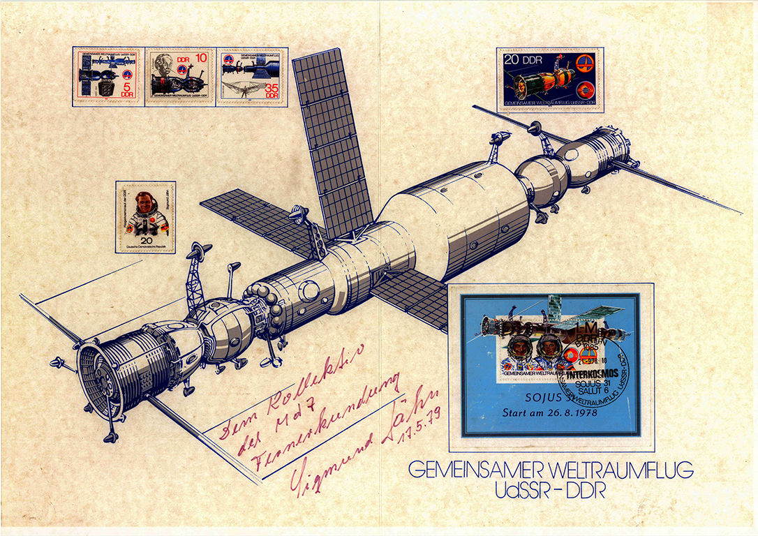
A research group around Prof. Marek at Central Institute for Physics of the Earth (today: GFZ — Geoforschungszentrum Potsdam) supervised the first space mission of the GDR in 1978 with the multispectral camera MKF 6 from Carl Zeiss Jena and the flying cosmonaut Dr. Sigmund Jähn.
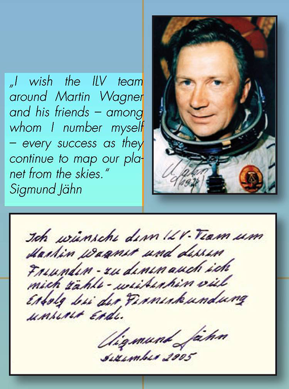
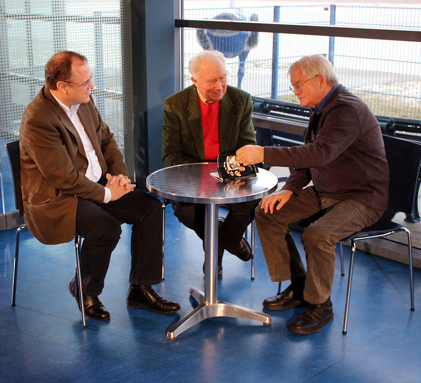
With the foundation of ILV-Fernerkundung GmbH in 2001, some highly qualified members of this research group, who had worked in the group “remote sensing” under the direction of Prof. Marek until 1990, were recruited into the ILV team. Until his death in 2019, Dr. Sigmund Jähn was a close friend of ILV.
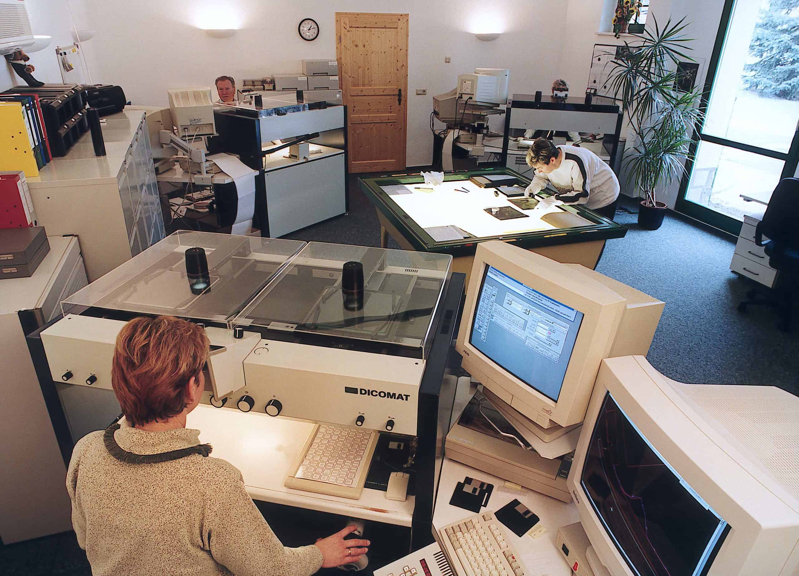
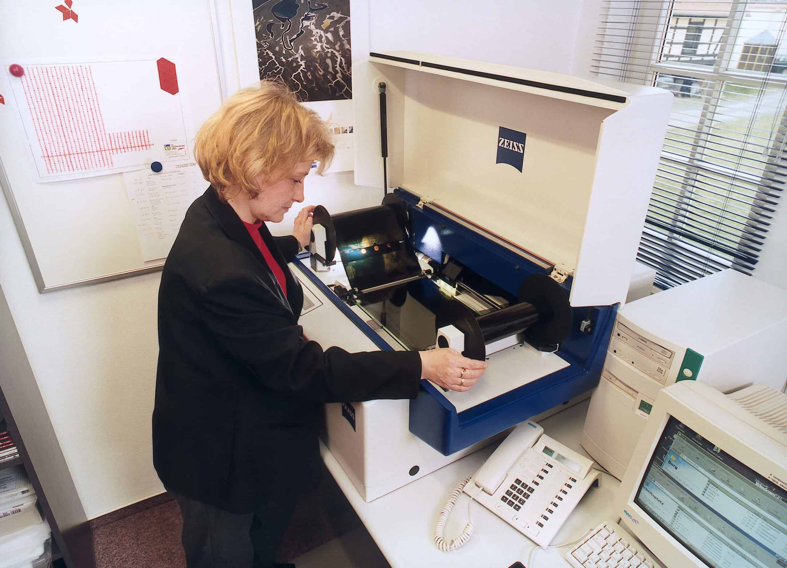
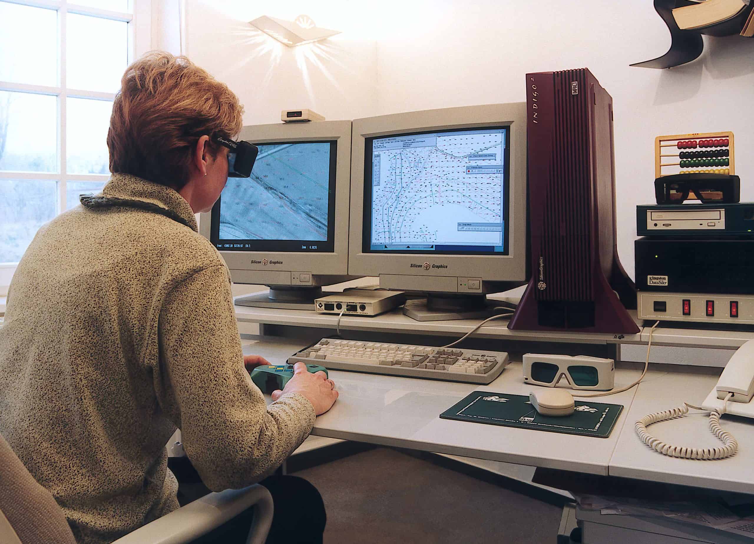
ILV-Fernerkundung GmbH was founded with the aim to extend the company profile of the engineering firm Ingenieurbüro für Luftbildauswertung und Vermessung (ILV) by the fields of research and development as well as further education especially in the field of satellite remote sensing. Continuous technical development and investments in new innovative technologies consolidated the leading position of ILV-Fernerkundung GmbH in the field of digital aerial photography and further processing to digital 3D models. A milestone was the transition from analogue to digital aerial photography at the beginning of the 2000s.
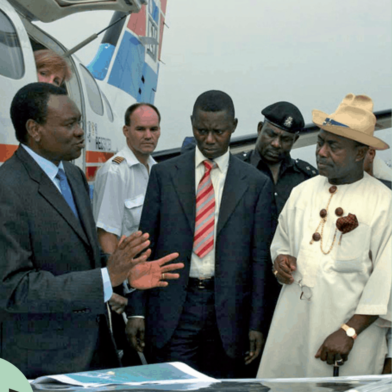
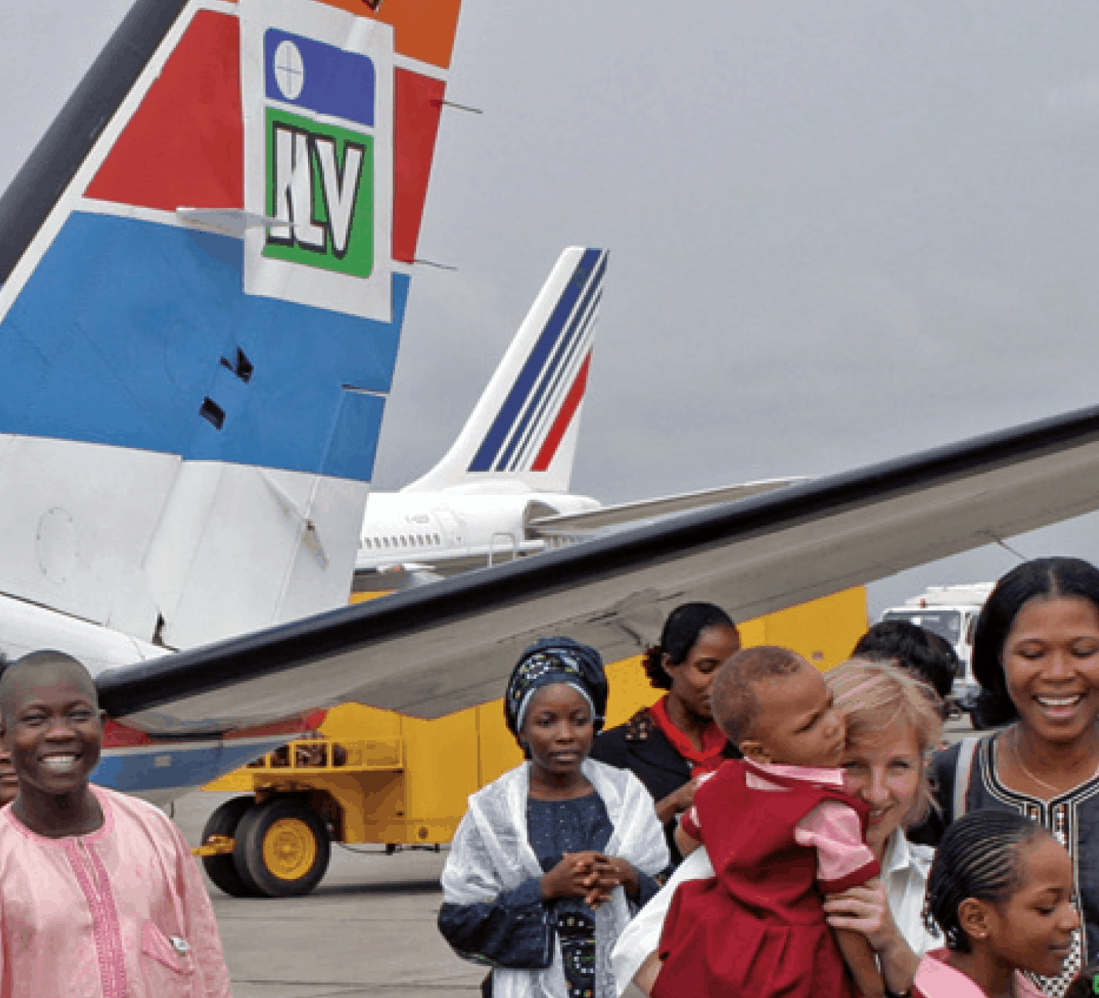
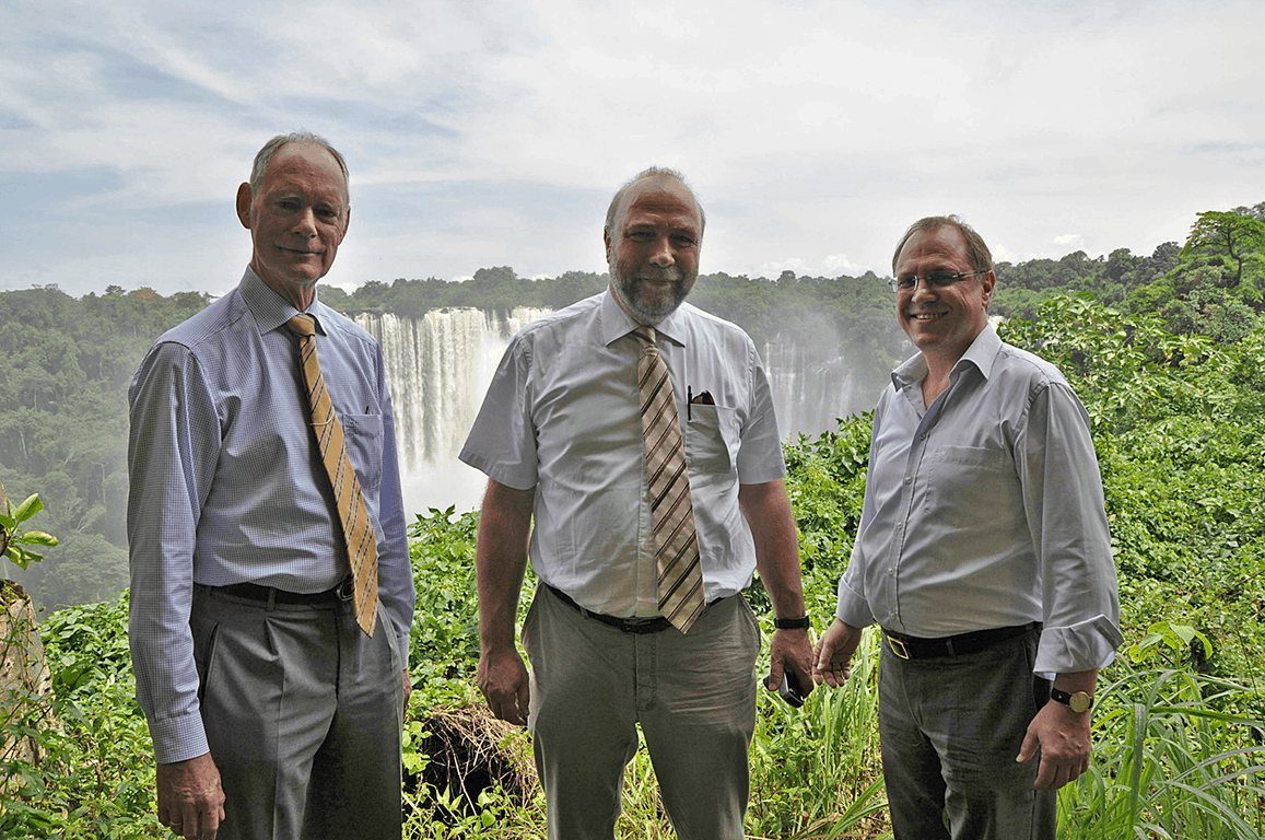
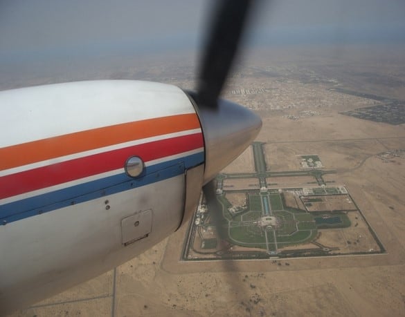
Since the turn of the millennium ILV has also been active on the African continent. The first assignment came from Houston, Texas and included the mapping of the Cross-River State in Nigeria by aerial survey, at that time still with black and white film material. Further assignments in Africa followed, so that ILV was also significantly involved in the Africa policy of the German Federal Government.
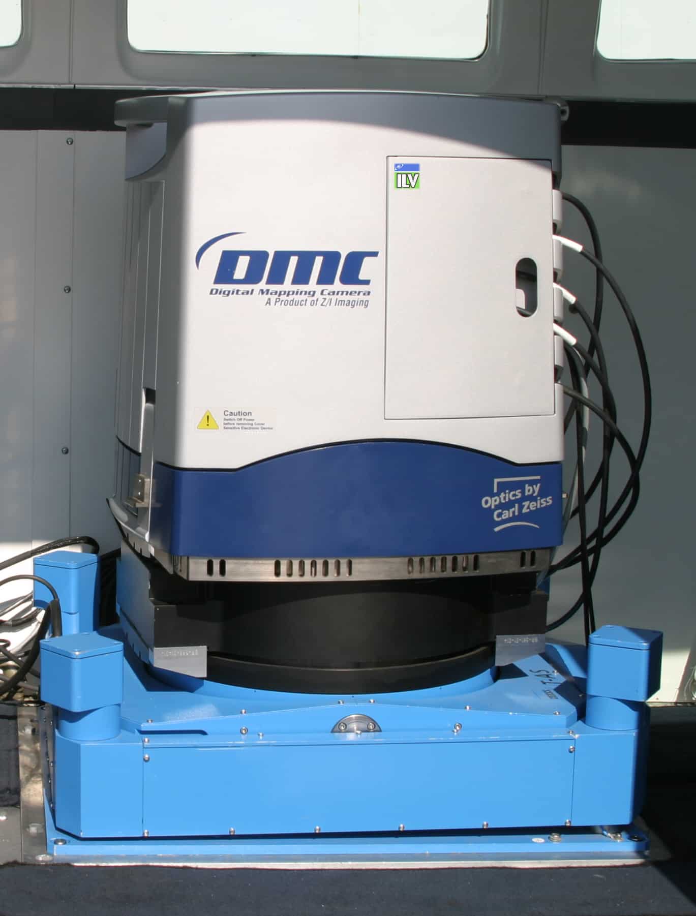
As of 2003 ILV was the first company to use the new digital aerial camera system DMC of Zeiss/Intergraph commercially throughout Europe. The DMC is based on multiple, exactly calibrated CCD-arrays and allows a remarkably high ground resolution. The required positional accuracy for the acquisition and processing of stereo aerial images can thus be maintained very accurately. This scientific and technical progress has led to a number of important orders from abroad, e.g. from France, Belgium, Denmark, Slovenia, Austria, Switzerland, Serbia, Bosnia-Herzegovina, the United Arab Emirates, Greece, Kuwait, Sierra Leona, Algeria, Libya, Ethiopia, Nigeria and Ghana. With more than 10.000 photo flights with the DMC in Germany and international ILV has acquired a high know-how in aerial surveying. It is one of the companies with the most comprehensive operational experience in the Middle East and Europe.
In Germany ILV is responsible for monitoring post-mining landscapes in Lusatia and Central Germany and performs weekly photo flights. Since 2008 ILV has been using a second advanced DMC to expand its national and international image flight activities.
Since 2005 ILV also uses the laser scanning method for the production of exact elevation models. In addition, ILV has invested in a dual thermal camera system in 2012, which can be flown in combination with other sensors, e.g. laser scanners. Since 2015, the equipment also includes an oblique camera system which can simultaneously generate five image recordings from five view angles and thus enables the generation of 3D objects.
In 2015, the new generation of the DMC III camera system was developed and from 2016 onwards it was used in ILV’s operational business. The DMC III has a CMOS sensor with 391 megapixels and mechanical forward compensation to balance “image migration”. It generates aerial images with a resolution of up to 3 cm. With this system ILV operates very successfully nowadays, especially concerning larger flying areas.
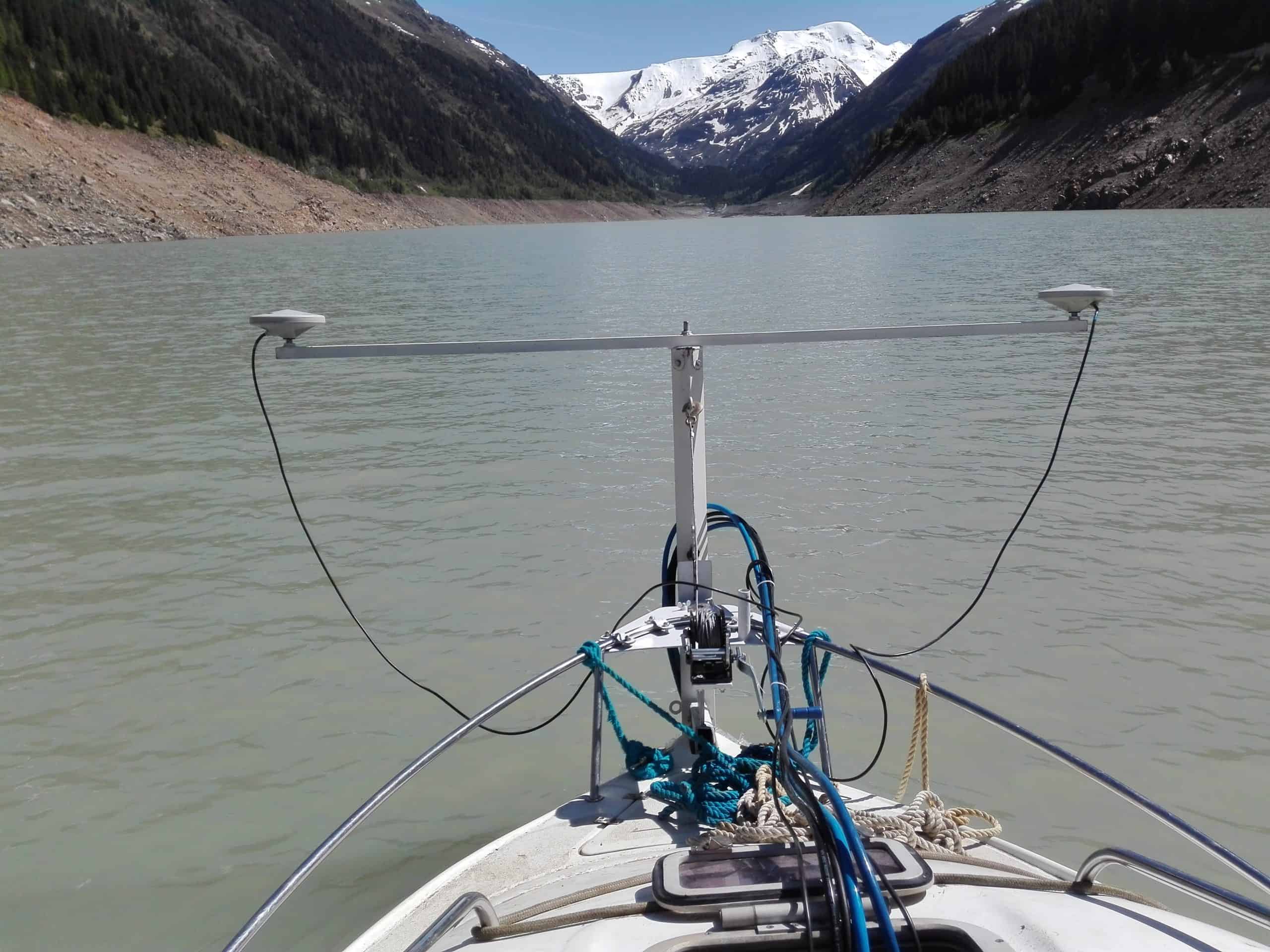
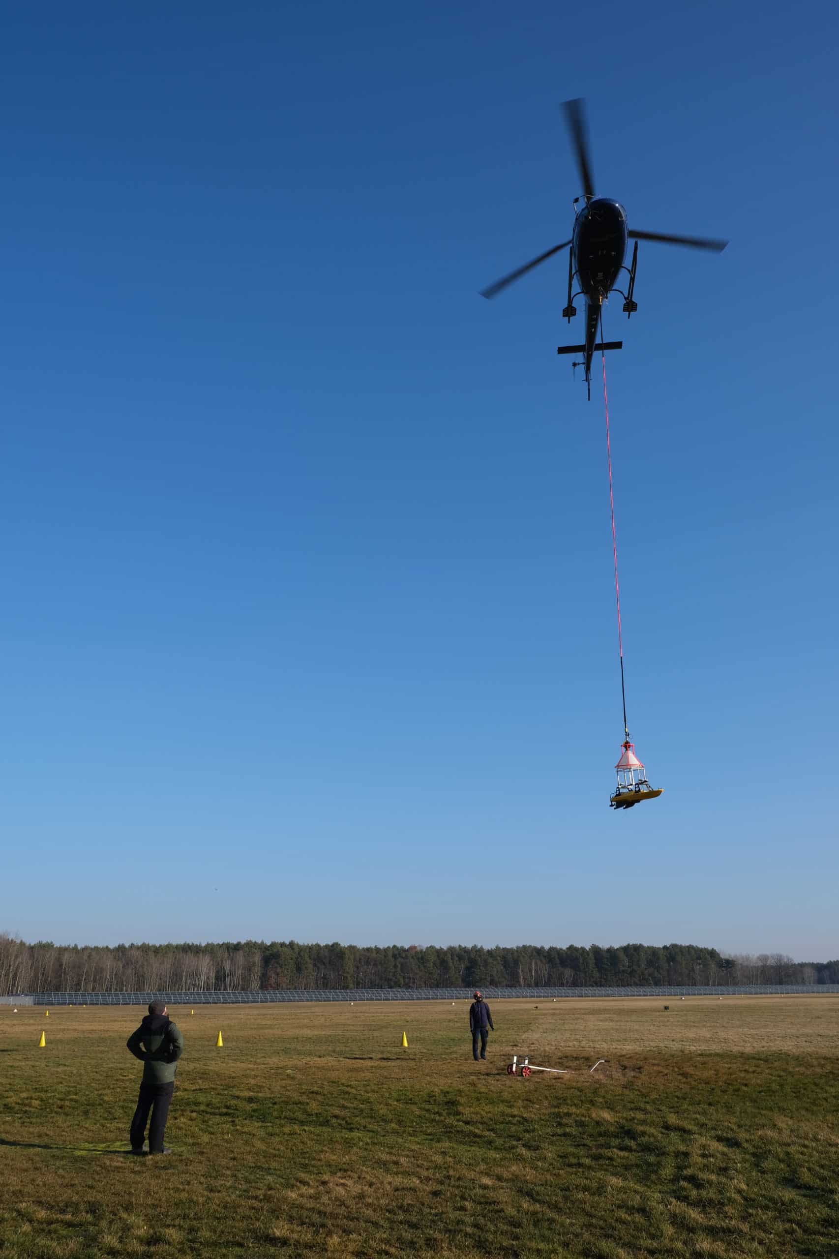
The fields of remote sensing, surveying and 3D-GIS still form the core areas of ILV’s work today. But also, in the field of hydrographic surveying ILV has been working for several years with own ships, modern equipment and experts. From 2004 to 2006 first bathymetric surveys (offshore) were already realized in Nigeria for the Nigerian ExxonMobil/NNPC. ILV is also regularly active on Austrian and German inland waterways. Here modern multibeam sonar technology is used, which is operated from own boats. Since 2019 ILV can perform multibeam measurements even unmanned. The method is used in areas which are not allowed to be entered, such as blocked open-cast mining waste holes. For this purpose the boat is put by helicopter and then operated via remote control.
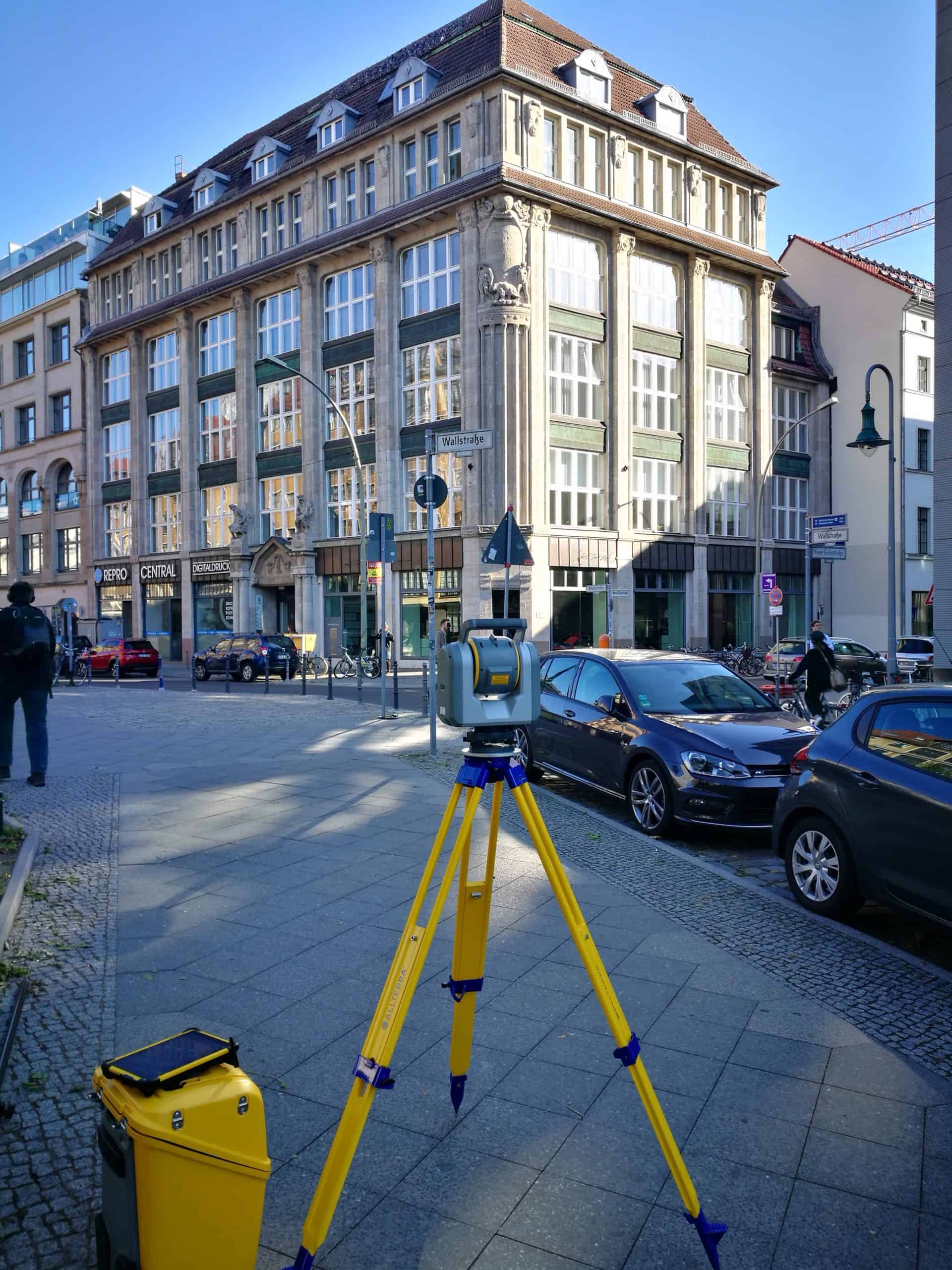
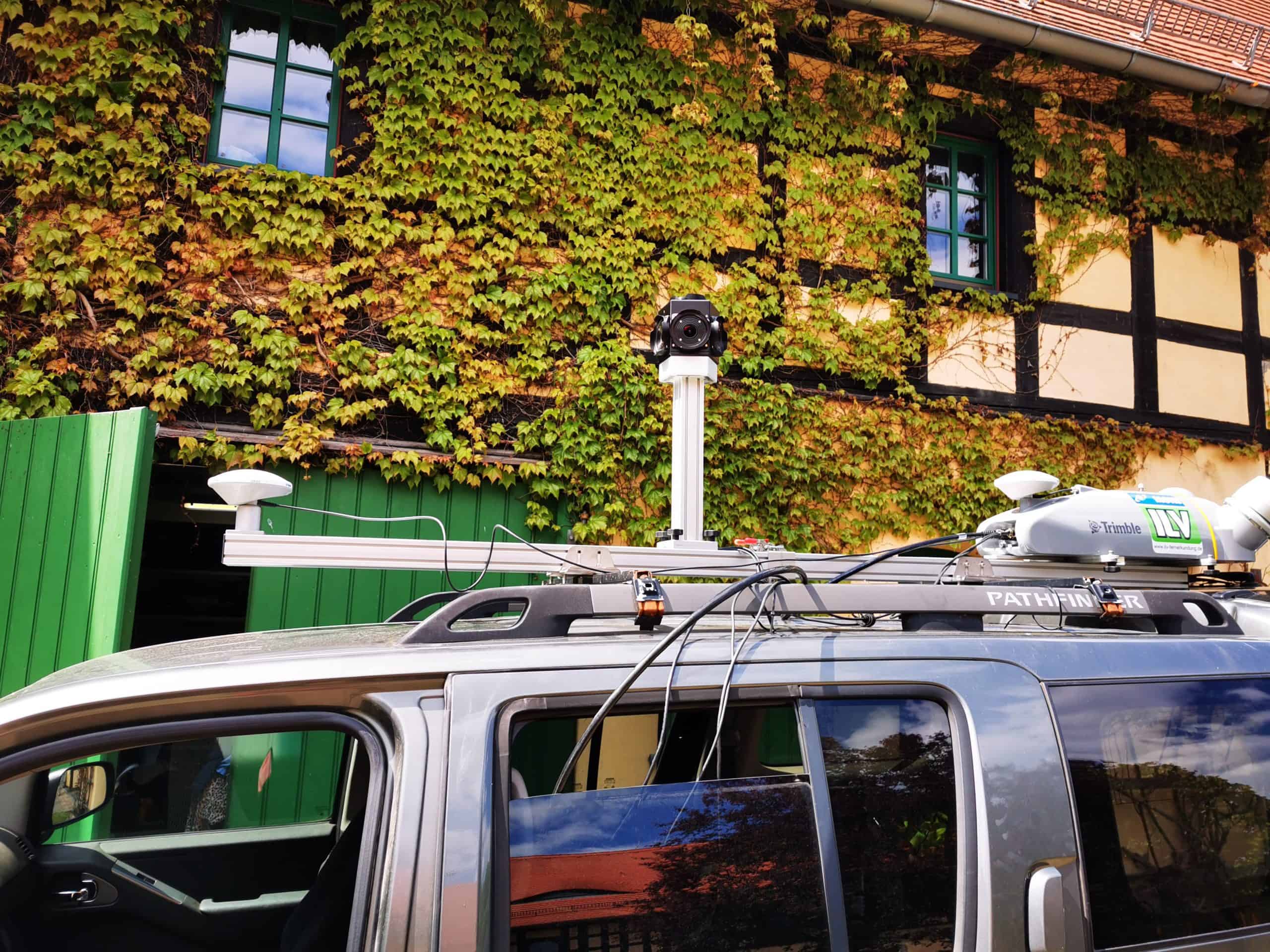
Advanced GPS systems such as the R10, total stations such as the SX10 or the mobile mapping system MX2 with the corresponding software systems complete ILV’s surveying portfolio.