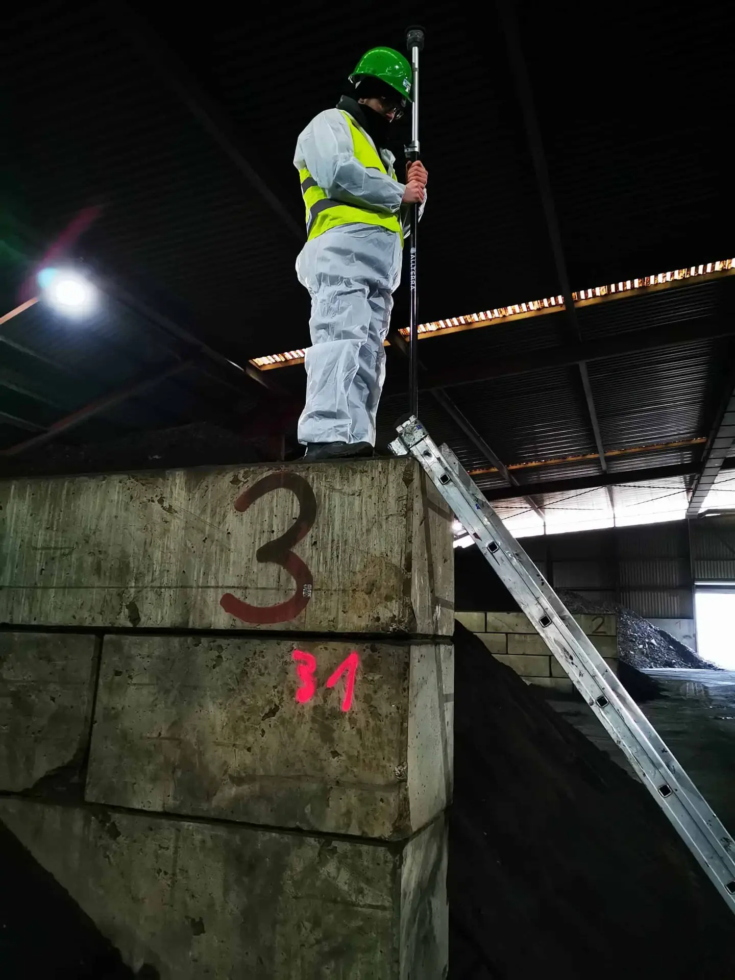
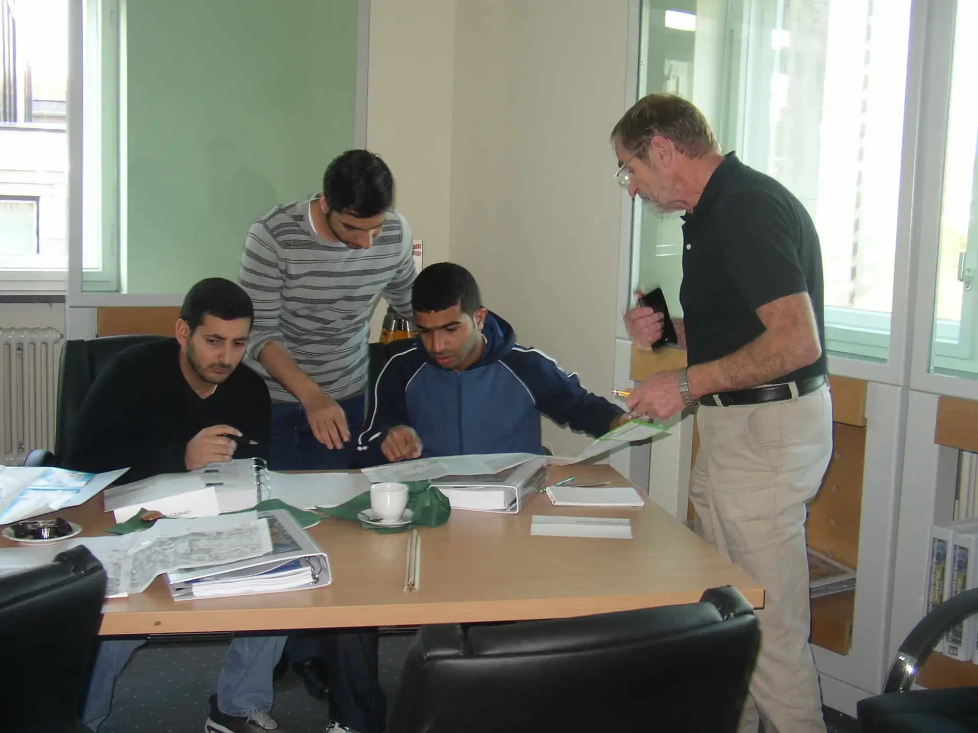
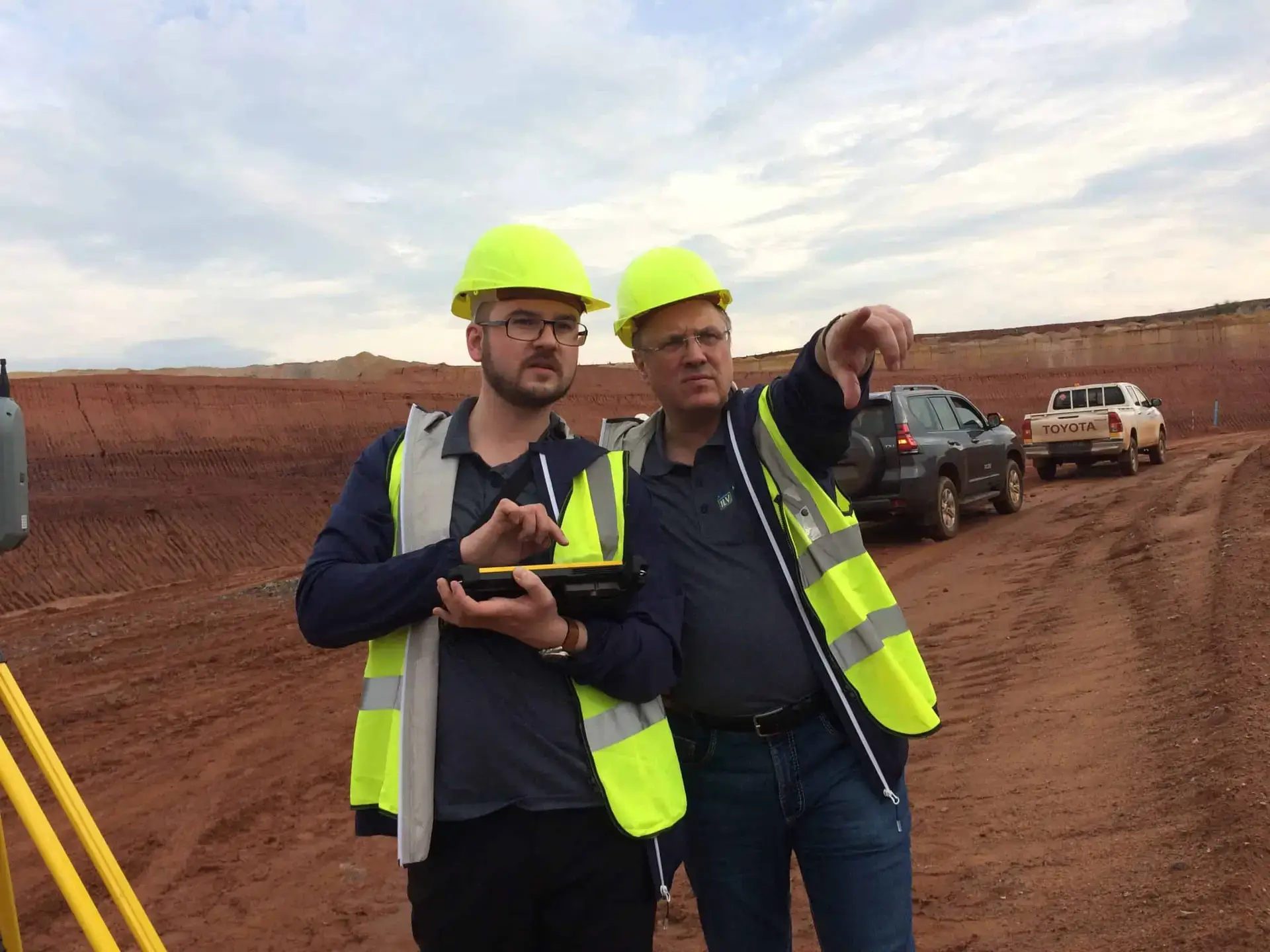
The ILV-Fernerkundung GmbH is active in the field of research and development and offers services as well as training and further education in the areas of remote sensing and GIS technologies. The core of our services is the generation and provision of versatile, spatially oriented remote sensing data of highest quality for geoinformation systems and for algorithms of artificial intelligence.
Research and development of new, innovative remote sensing technologies
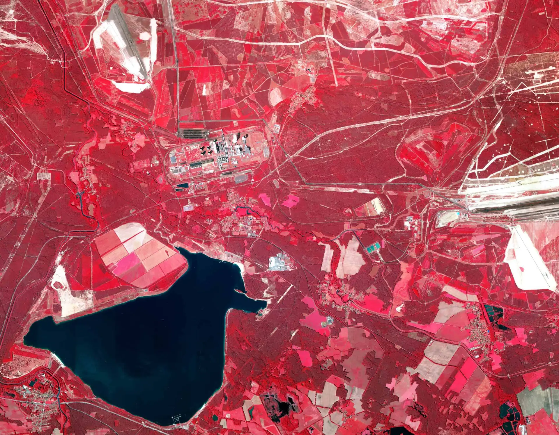
RGBN aerial images Passau
combination of color-infrared-PAN-channels
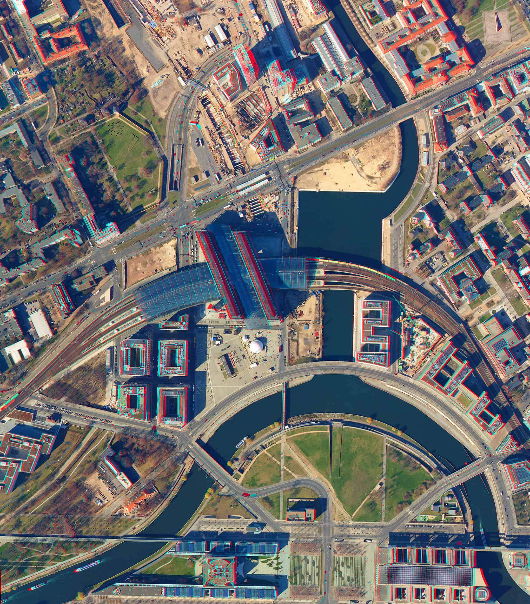
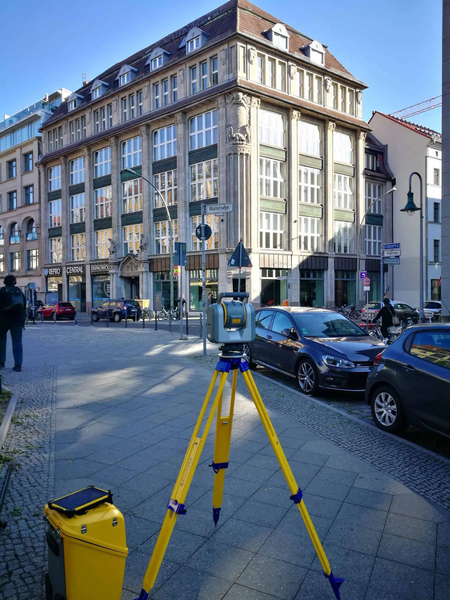
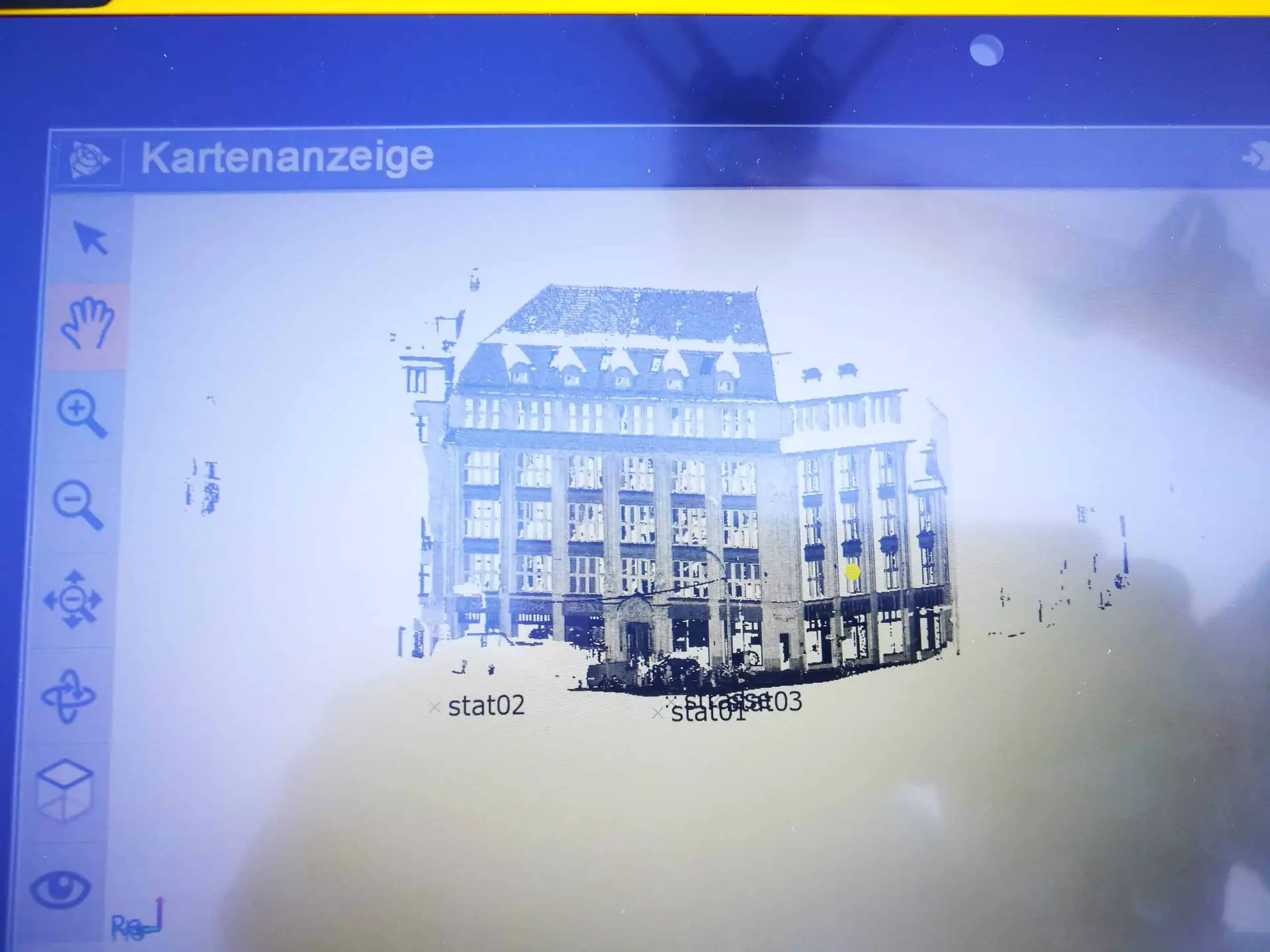
3d-aerial images Berlin
monitoring of construction progress at central station
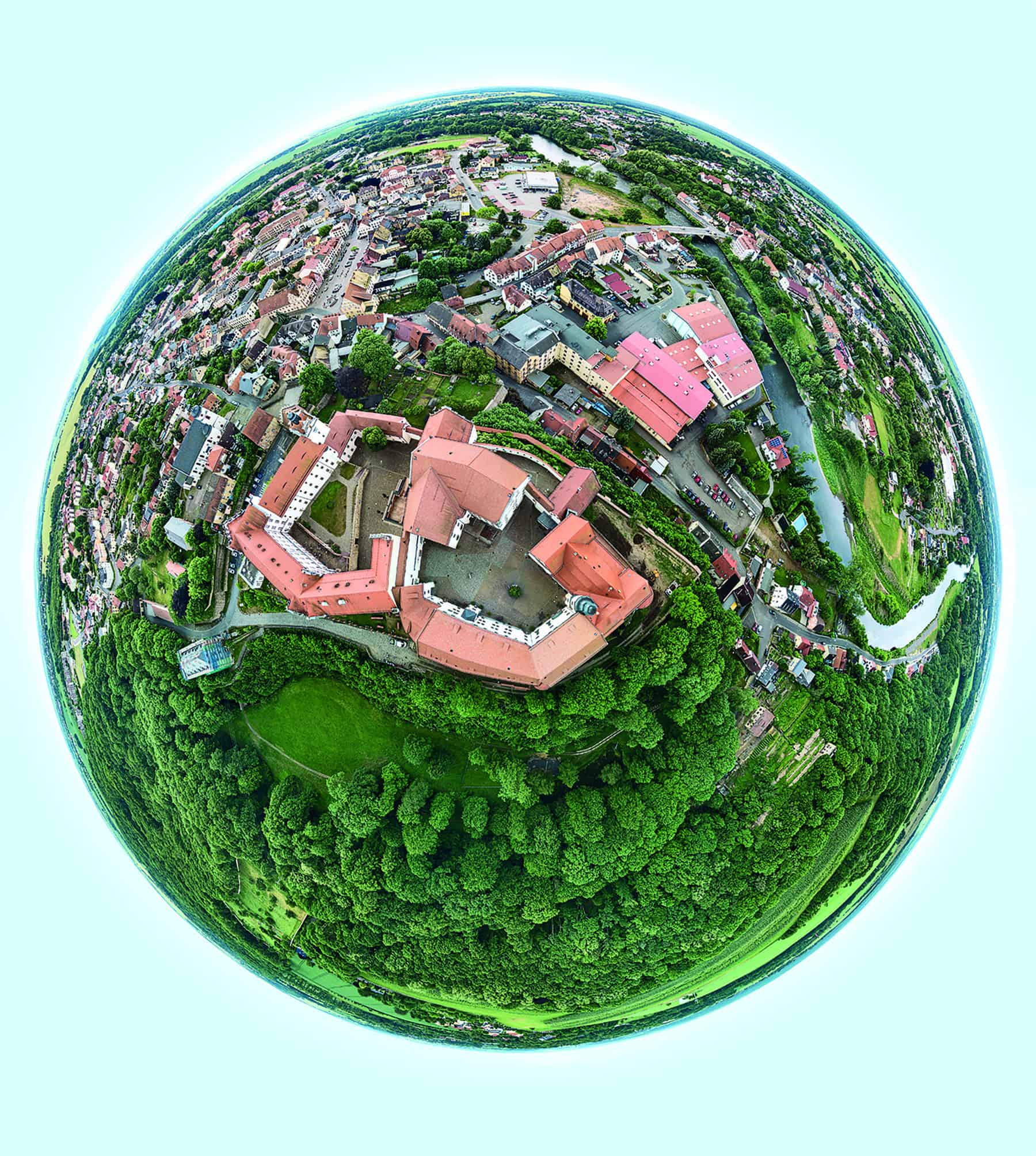
Drone shot castle Colditz
360° panorama in addition to geo data
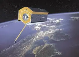
TerraSAR‑X mission (DLR)
attendance in research project for the use of satellite data
Aerial photo analysis, topographic aerial maps und digital terrain models
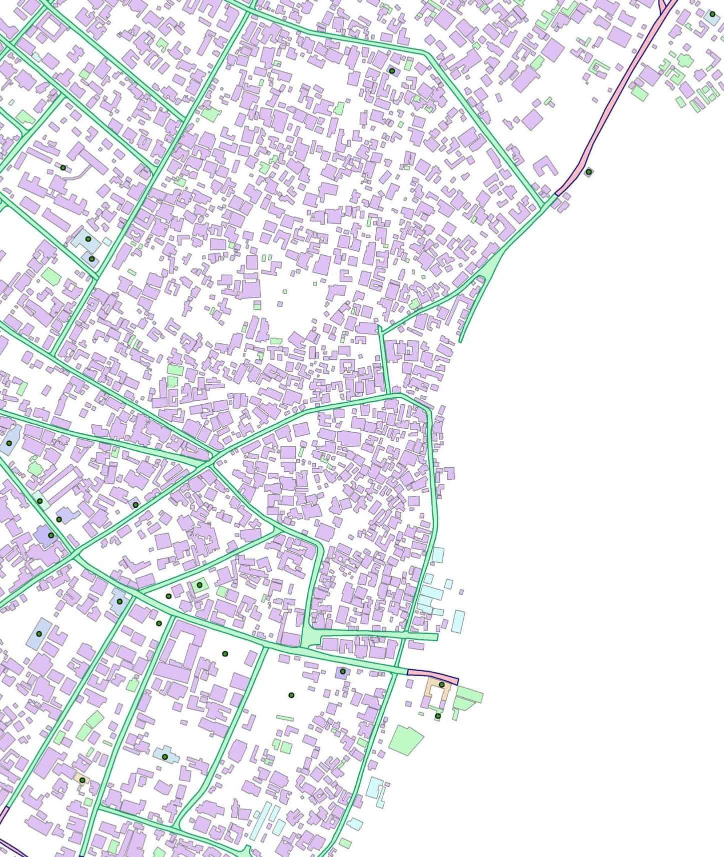
Digital orthophotos, 3d-city models, development of GIS-applications
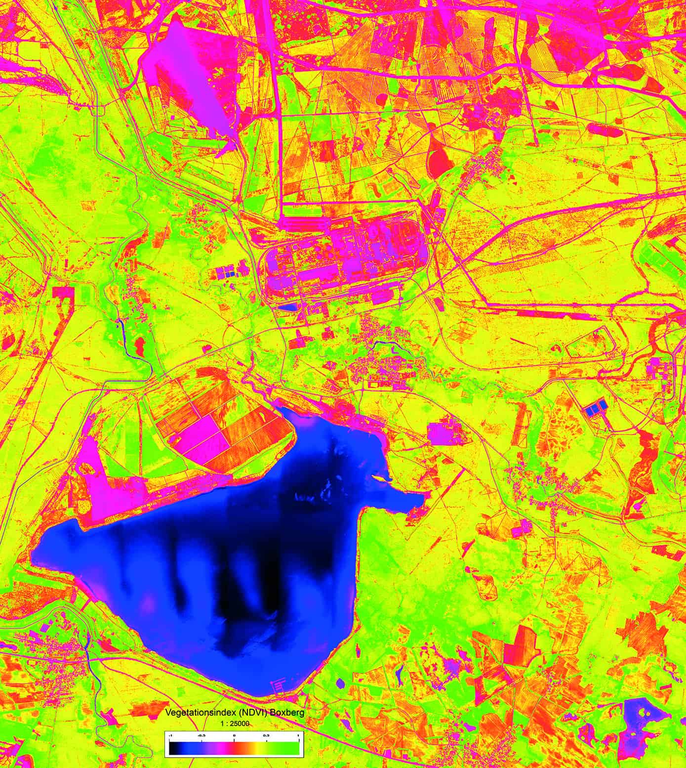
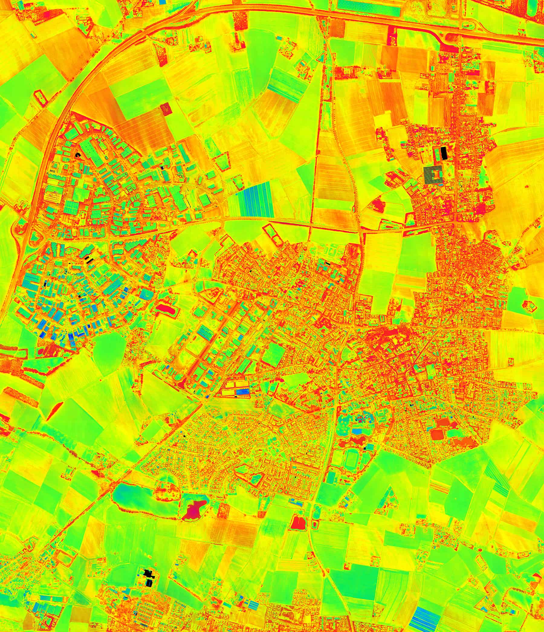
Thematic analysis of airborne- and satellite-based remote sensing data
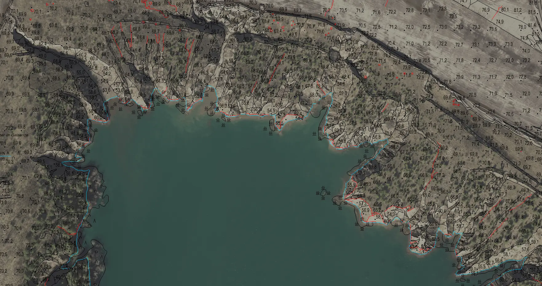
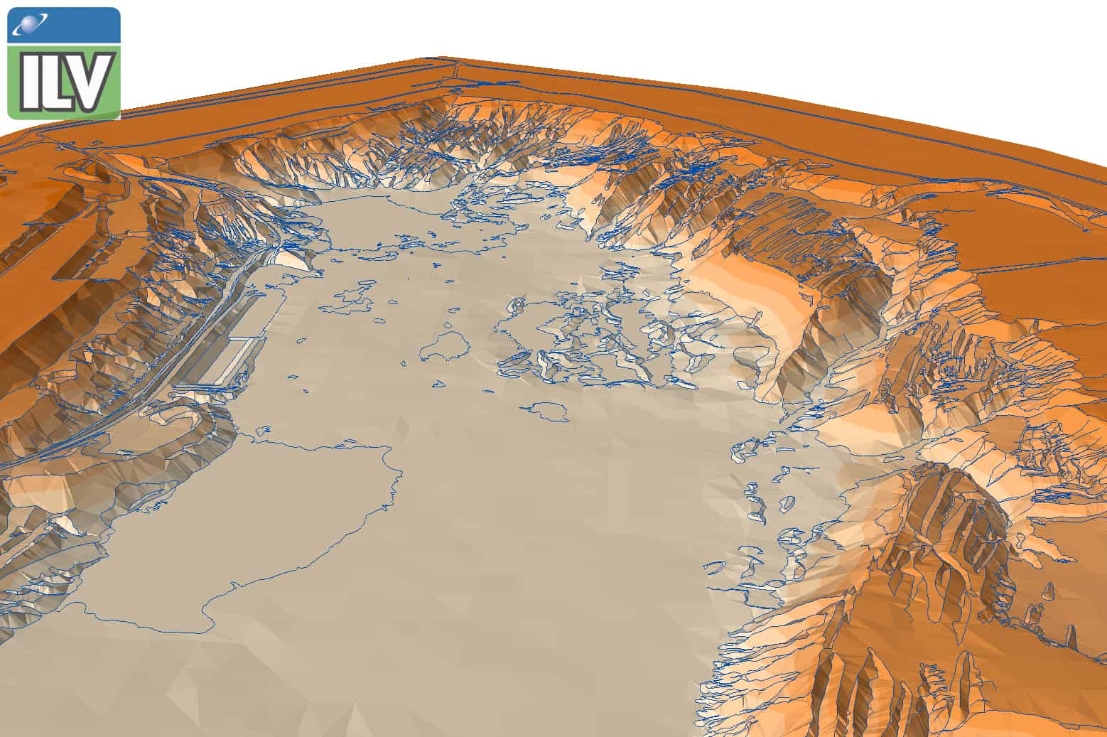
Hydrological survey
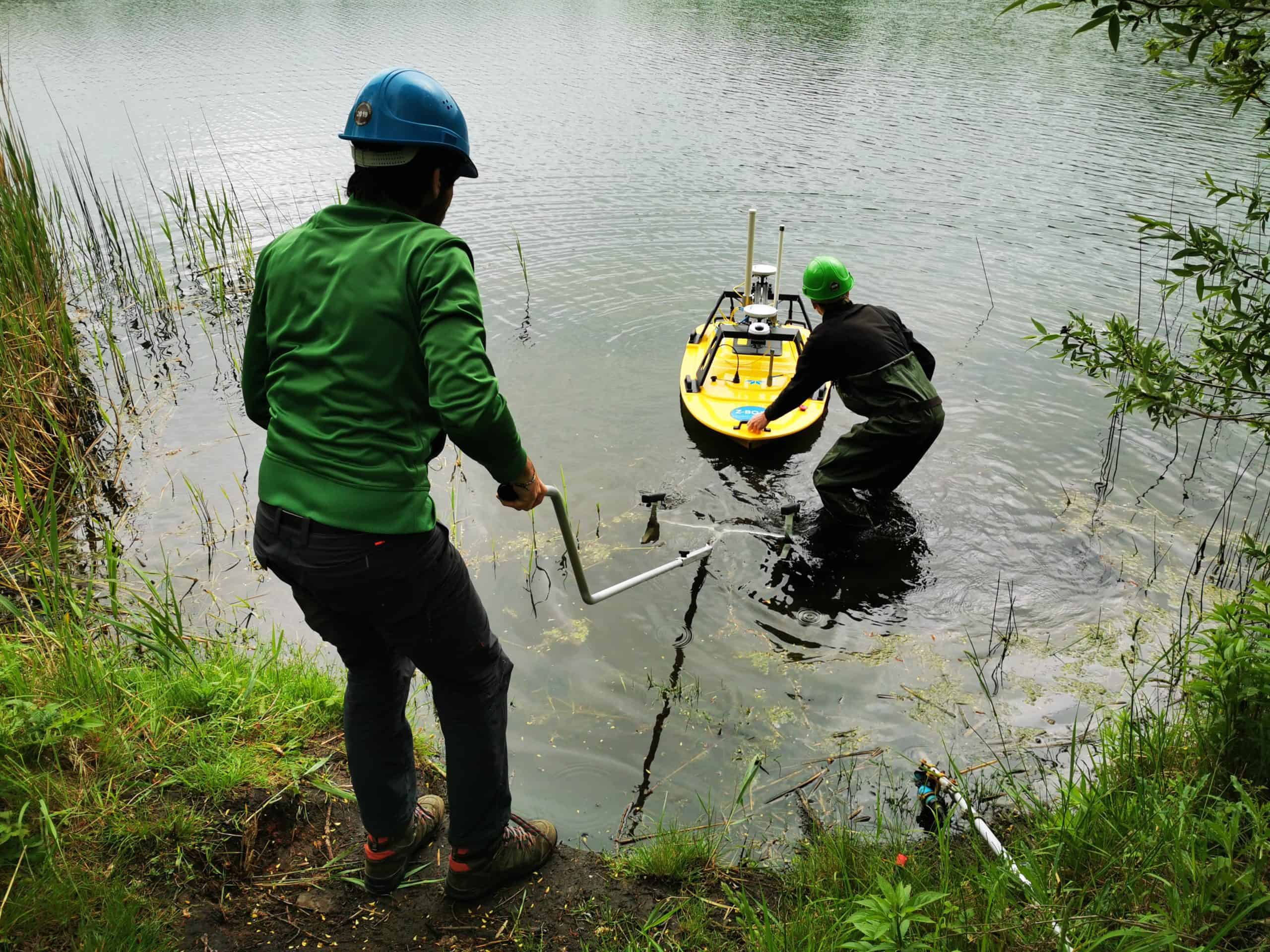
Remote-controlled hydrographic surveying
contribution to the renaturation of open pit mining wholes
Remote-controlled hydrographic surveying
exploration of coastal waters
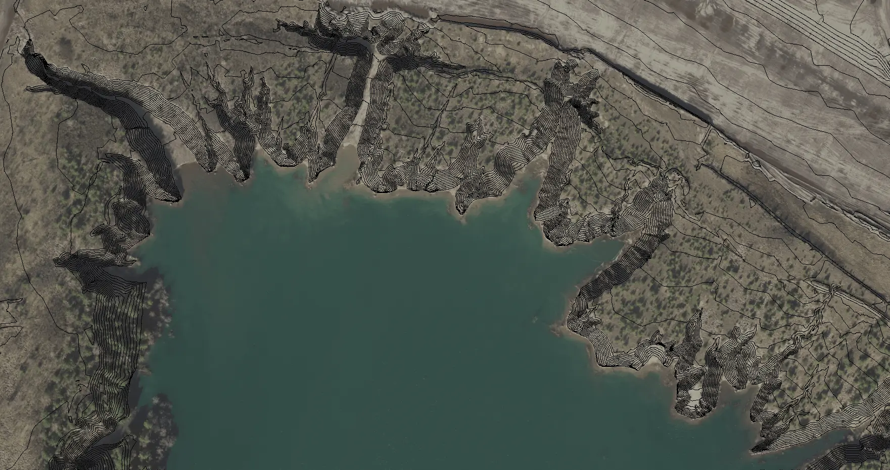
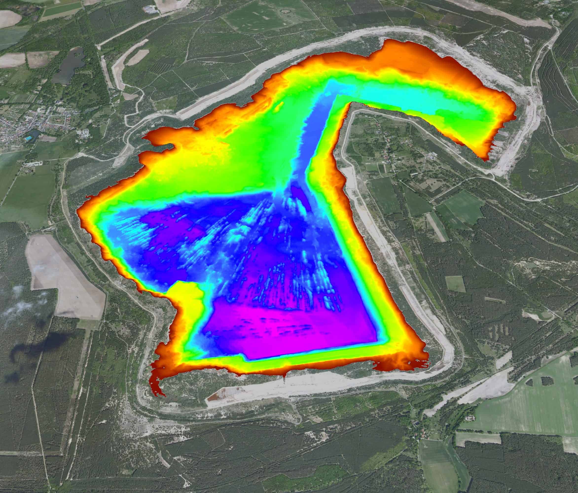
Result of sounding
contribution to the renaturation of open pit mining wholes
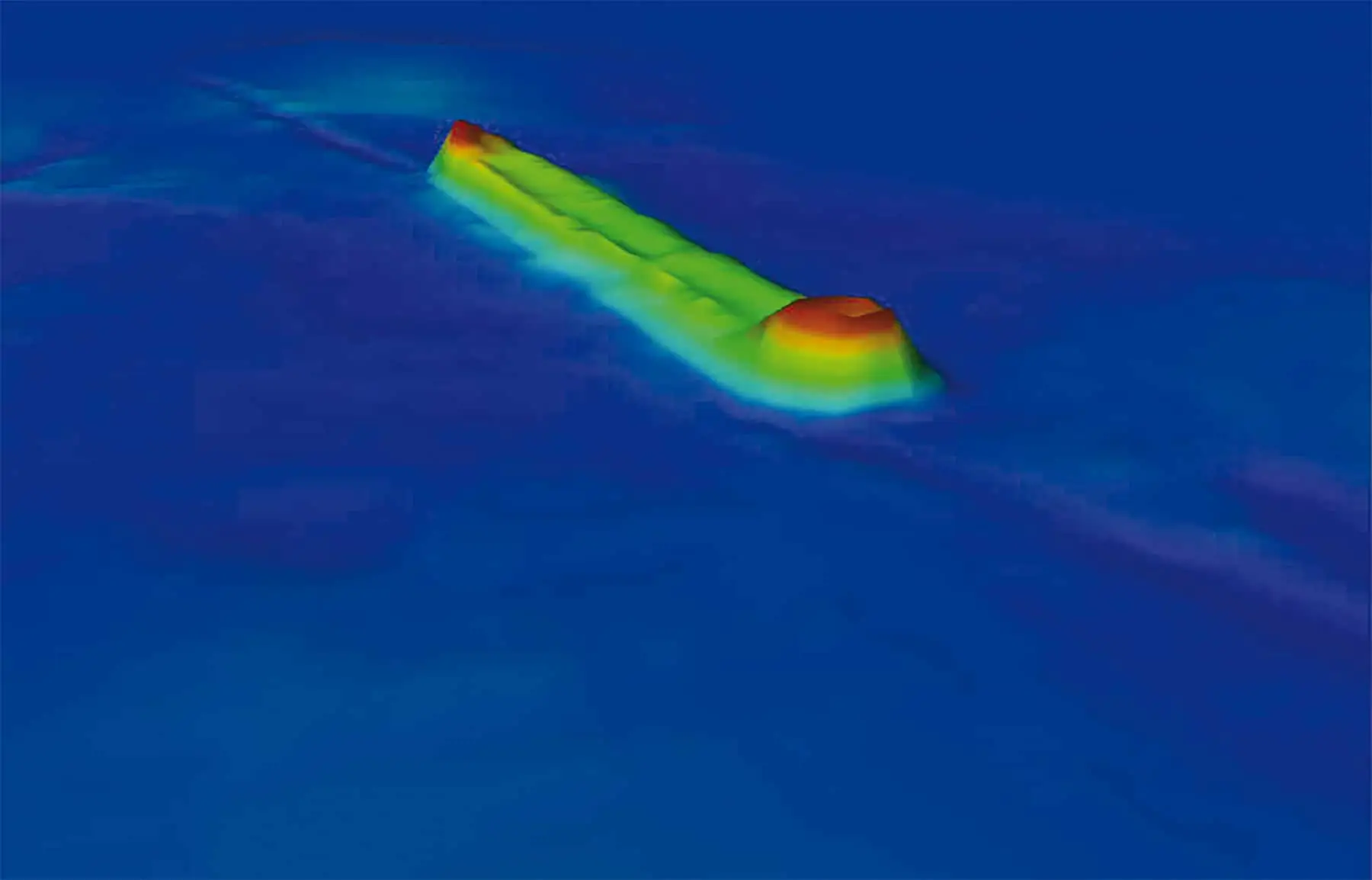
Sonar recordings of a wreck
exploration of underwater objects